nanoCAD 3DScan is the latest vertical application designed for professionals across various industries, including geodesy, construction, mechanical engineering, and more. It seamlessly integrates with the nanoCAD platform, enhancing your ability to process and analyze 3D scanning data with precision and efficiency.
Embrace the next level of 3D scanning data processing with nanoCAD 3DScan and discover how our advanced technologies can transform your operational capabilities.
From preliminary analysis to complex geometric detections and area calculations, nanoCAD 3DScan comes equipped with over 150 commands to tackle any challenge in 3D data processing.
Support for BIM, creation of DSM and DEM, and detailed 3D modeling capabilities.
Whether it’s design, construction, monitoring, or topography, 3DScan is tailored to meet the demands of your projects.
nanoCAD’s PressPull tool allows you to align selected model elements. Simply select a face that needs to be aligned and then click on the object to be aligned with.
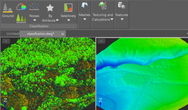
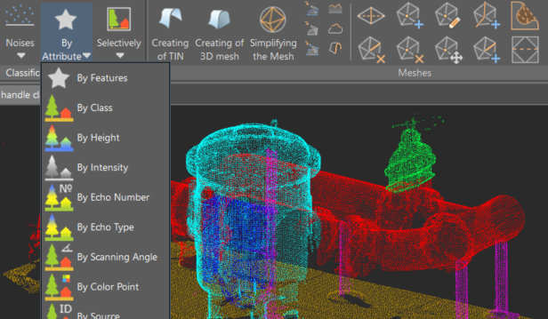
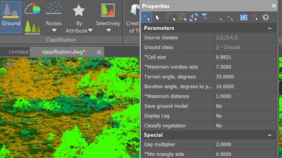
An extensive toolkit and parameters are available for the automatic classification of terrain and other categories based on specified criteria.
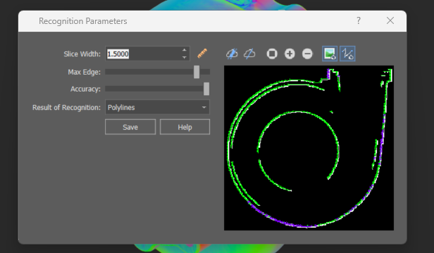
Automatic construction of multiple sections of point clouds at specified intervals, followed by their vectorization and the generation of raster images.
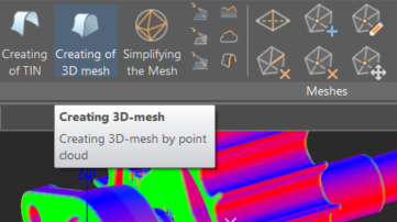
The command conducts 3D triangulation of volumetric object point clouds, creating meshes that can be used for triangulating buildings and other surface structures.
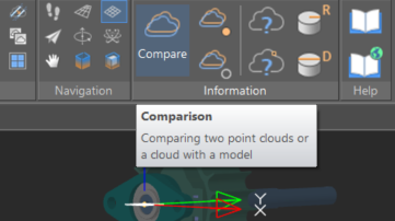
The tool enables evaluation of the degree of alignment between two point clouds or between a point cloud and a model.
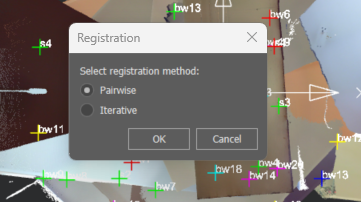
Mutual orientation of multiple point clouds enables registration to identify transformation parameters for any number of reference point groups. Two techniques are employed: pairwise and iterative.
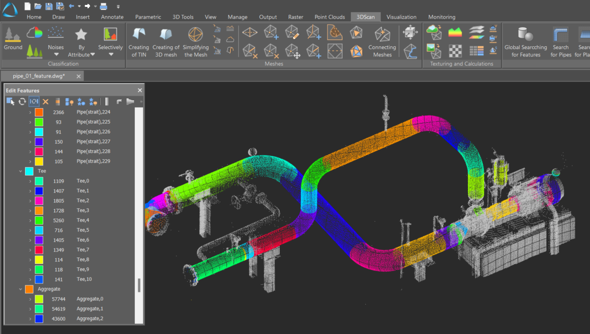
Tools for searching pipes and planes in a point cloud based on specific parameters
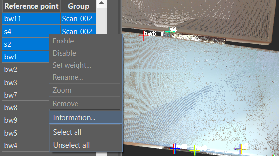
Monitoring deviations at each point enables assessment of the registration quality. Reference points with significant discrepancies can be excluded or their weights adjusted, followed by a repeat registration.
An algorithm for automatic ground identification, complemented by a ground verification command that allows for manual refinement of automatically classified points
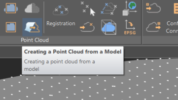
The tool transforms the specified model into a point cloud at a designated density.
Explore more features of nanoCAD 3DScan more features